
Southern Gold Coast, QLD
Excavation and earthmoving in Tallebudgera
In 1904, 10,000 acres were offered at auction as 36 dairy farms, the Tallebudgera and Currumbin Estate. About 3,800 people now live in the suburb, around an 18-hole golf course on Guineas Creek Road, two schools, and a mix of rural living, grazing and suburban housing. Luke matches the Kubota, posi-track and Fuso to the block, whether it's a paddock or a house yard.
Or send the job details online
- Google 5.0 out of 5 from 2 reviews
- Liability and equipment insurance held
- ABN 58 346 068 875
- Free quotes and site looks
- Luke runs every machine himself
- Liability and equipment insurance held
- Owner-operatorLuke, over 10 years operating machinery
- Based in MurwillumbahWorking the Gold Coast to Lennox Head
- Insurance heldLiability and equipment, certificate on request
- Google 5.0 out of 5From 2 reviews, October 2026
- ABN 58 346 068 875Registered business name DIRT WERKS
Jobs Luke takes on in Tallebudgera
Land clearing
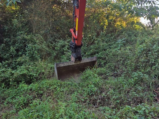
Camphor laurel crowds the cleared reaches of Tallebudgera Creek. Luke removes weed trees and their stumps at the owner's request, with any approval for work near the creek sorted first, and loads the timber onto the Fuso.
See more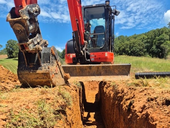
Trenching and drainage
Rural living lots need water and power run out to sheds, tanks and pumps. That means a trench from Luke and pipe or cable from your licensed plumber or electrician, who lays and connects it before the backfill goes in.
See more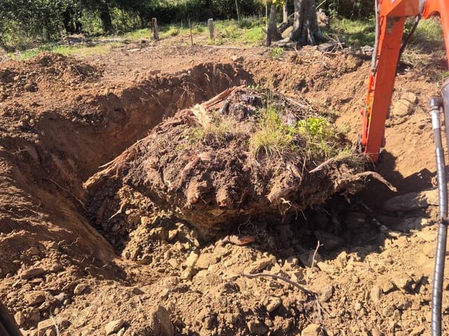
Soil removal and tipper
Leftover trench spoil, stumps and clean-up rubbish ride out on the Fuso to a lawful tip or approved site, with dockets, so no heap sits on the creek flats waiting for rain.
See more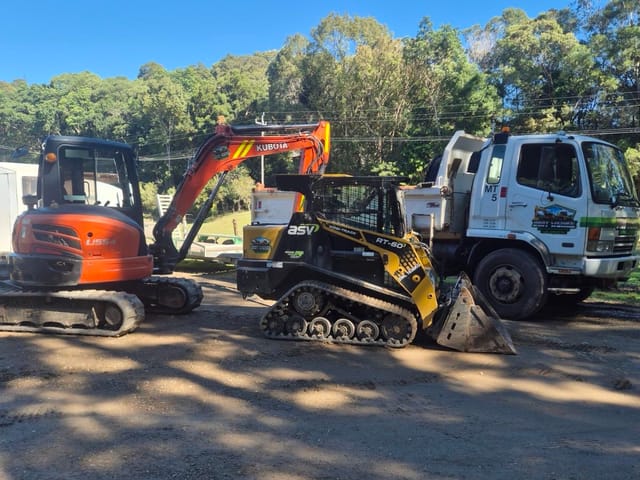
Excavator hire
Hire the Kubota with Luke in the seat for paddock fence post holes with the auger, or a stump in the middle of a lawn. The person who quotes the job is the one who digs it.
See moreGround and access in Tallebudgera
Tallebudgera Creek forms parts of the suburb's western and eastern borders, on its run of about 27 km from the Springbrook plateau to the sea. On the lower creek, Queensland's WetlandInfo says it crosses low-permeability rock before alluvium builds up on the flatter floodplain, with mangroves and saltmarsh along its banks. Council notes the lower and middle freshwater reaches were extensively cleared and now hold dense camphor laurel.
Whether it's a paddock gate off Tallebudgera Creek Road or the side path of a suburban house, Luke needs to see the way in. Send a wide shot, the gate or side access with its width, and the dig spot, and say if the route crosses soft ground near the creek.
Before you dig in Tallebudgera
Tallebudgera is in the City of Gold Coast area. These rules are worth checking before the machine is booked. Luke lodges his own Before You Dig enquiry for every job.
| Check | What it means |
|---|---|
| Protected trees and vegetation | The City says you may need its approval before removing or pruning trees on your property. City Plan protects assessable vegetation: anything over 4 m tall, any trunk 40 cm or more around at 1.4 m above the ground, and vegetation shown on the Vegetation Management Overlay Map. Some clearing is exempt, such as near boundary fences or approved buildings (distances depend on lot size) and within 1.5 m of a pool fence. Otherwise, lodge an operational works application for vegetation clearing first. |
| Filling or excavation that changes ground level | Filling or excavating a site can need development approval if it changes the ground level. City Plan Table 5.8.1 sets the triggers by zone. In the Low and Medium density residential zones, an application is generally needed once the work exceeds 40 cubic metres of fill or excavation, raises or lowers the ground by more than 1.0 m, or is tied to a material change of use or reconfiguring a lot. Rural, rural residential and conservation zones use other volume and boundary triggers, and overlays can catch smaller jobs. |
| Acid sulfate soils on low coastal land | The Queensland Government says coastal land below 5 m AHD, about 5 m above sea level, is likely to hold acid sulfate soils, which release acid and metals when dug up or drained. On a lot shown on the City Plan Acid sulfate soils overlay map with natural ground at or below 20 m AHD, digging out 100 cubic metres or more, or placing 500 cubic metres or more of fill averaging 0.5 m deep or more, at or below 5 m AHD needs code assessment. |
| Works in the road reserve: vehicular crossings | A vehicular crossing, the part of a driveway between the property boundary and the road, sits on public land. The City says you need its approval to build one, and property owners are responsible for building and maintaining it. A crossing that meets the City Plan standard needs an application for a standard crossing. One that can't meet it needs a development permit for operational works. The City's online questionnaire shows which applies, and crossings should be assessed before building approval is given. |
| Flood-prone land and the City's flood maps | The City's flood maps show whether a property could be affected by flooding, and a Flood level search report gives a lot's Designated Flood Level. That report doesn't show the flood extent or cover local flash flooding. On land in the Flood assessment required area of the City Plan Flood overlay map, earthworks over 5 cubic metres that aren't part of building work or a material change of use need code assessment. Check before filling or reshaping a low yard. |
| Fire ant biosecurity zones | As at October 2026, much of the Gold Coast is inside Queensland's fire ant biosecurity zones, which are reviewed monthly. If any part of a property touches a zone, the whole property counts as in it. Under the Biosecurity Regulation 2016, soil, fill, mulch, turf and quarry materials from inside the zones must be handled, stored and moved under set rules. Machinery must be cleaned of soil before it leaves a site in the zones. Check the address on the fireants.org.au map. |
How it works
From a photo to a finished job
Call or text Luke a photo
A wide shot, the gate or access, and the exact spot tells him most of what he needs.
Get a free quote
From your photos, or from a quick site look if the job needs it. No charge for either.
Book a day
Luke brings the right machine for the access and the job.
Dig, cart and clean up
Spoil goes out on his own tipper. The site is left tidy.
Got a job in Tallebudgera?
Call Luke, text him a photo of the site, or send the details through the quote form. Quotes are free.
Questions about earthworks in Tallebudgera
Can Luke clear camphor laurel along my stretch of Tallebudgera Creek?
Council's catchment notes say the lower and middle freshwater reaches were extensively cleared and now carry high densities of camphor laurel. At the owner's request, Luke can take out weed trees and stumps with the excavator and grab, then cart the timber away. Work beside a creek can need approval, so check with Council before a date is set.
How do I check which of these rules apply to my lot?
Search the address on the City Plan map at cityplan.goldcoast.qld.gov.au and open Map Layers. Zones shows your lot's zone. Overlays includes Flood, Acid sulfate soils, Environmental significance (vegetation management), Bushfire hazard and Landslide hazard. Check the fire ant zone on the fireants.org.au map too, because zones change monthly. If you're still unsure, the City takes development questions on 07 5582 8708. Send Luke what you find, along with your photos.
Can soil from a Gold Coast job go to a tip in New South Wales?
Not without a permit. Under Queensland's fire ant rules, soil from a site in zone 2 can go directly to a waste facility in zone 2, but moving soil from inside the zones to anywhere outside them needs a biosecurity instrument permit, and the destination state's rules apply as well. Much of the Gold Coast is in zone 2 as at October 2026, so check the address first. Luke carts spoil to lawful tips or approved sites, with dockets.
Suburbs near Tallebudgera
Luke works right across the area. Pick a neighbouring suburb, or see all of Gold Coast.
Sources (checked October 2026)
- Wikipedia: Tallebudgera, Queensland
- City of Gold Coast: Tallebudgera Creek Catchment
- Queensland Government WetlandInfo: Southern Gold Coast catchment story
- City of Gold Coast: Tree & vegetation removal on private land
- City of Gold Coast City Plan, version 14 (effective 29 September 2026): SC1.2 Administrative definitions
- City of Gold Coast: Change to ground level
- City Plan: 5.8 Operational work (Table 5.8.1 Change to ground level, Table 5.8.4 Vegetation clearing)
Related
Gold Coast
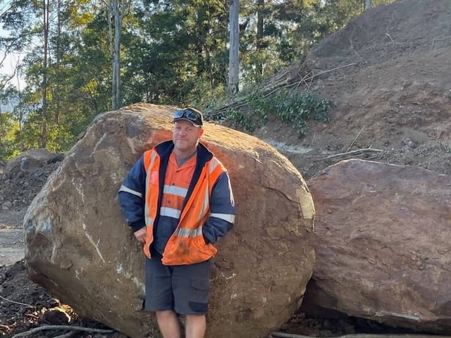
Excavator, posi-track and tipper work on the Gold Coast: trenching, clearing, stump and soil removal. Luke drives up from Murwillumbah.
See more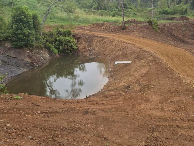
Land clearing
Land clearing, stump removal, farm dams, creek crossings and access tracks across the Tweed and Northern Rivers.
See more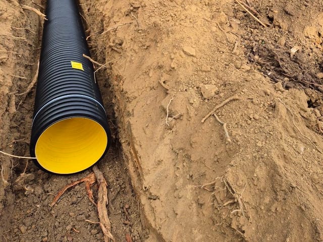
Trenching and drainage
Trenching for plumbing, power and drainage, Gold Coast to Lennox Head. Before You Dig checked, dug to grade, backfilled.
See more